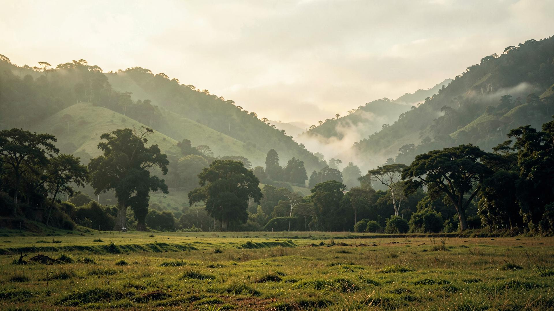


Two hours from Mumbai, real water tables, real approach roads. The unglamorous reasons we drew our first map so tightly.
There are three reasons we drew our first boundary around Karjat and Igatpuri, and why we are not rushing past it.
One: distance, measured honestly
Two hours is close enough that a weekend actually happens — you leave after breakfast and you are there for lunch. Push that to four hours and a “weekend home” quietly becomes a “someday home.” We tested this ourselves, repeatedly, before we tested it on paper.
Two: water
Farmland and villas are only as good as what is underneath them. Before we shortlist any parcel, we check the water table, not the brochure. Karjat and Igatpuri sit in a belt with dependable groundwater and monsoon catchment — not guaranteed forever, nothing about land ever is, but meaningfully better than large parts of the dry Deccan plateau further inland, where farmland looks identical in a listing and behaves very differently in April.
Three: approach
A plot with no all-weather road to it is not really usable eight months a year, whatever the survey map says. We have walked away from cheaper land elsewhere in Maharashtra for exactly this reason — the number looked better, the access did not.
Why we are not expanding further yet
Because managing an estate well — the agronomy, the housekeeping, the concierge calls at 11pm when a pipe bursts — takes a team that actually knows the terrain and the local contractors. We would rather run Karjat and Igatpuri properly than run five regions adequately. When we do expand, it will be because we can bring the same standard, not because a new pin on the map looks good in a deck.